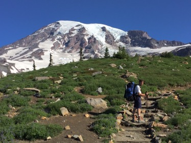
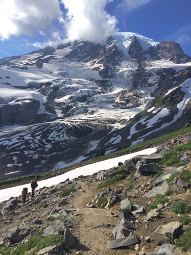
In late April of 2024 myself and four others finished a trip that has been on my bucket list since the 1970s – a crossing from east to west of the California Sierra Mountain Range on skis. First, let me first post some photos and a few links to aid other in navigation. Eventually I may add more captions.
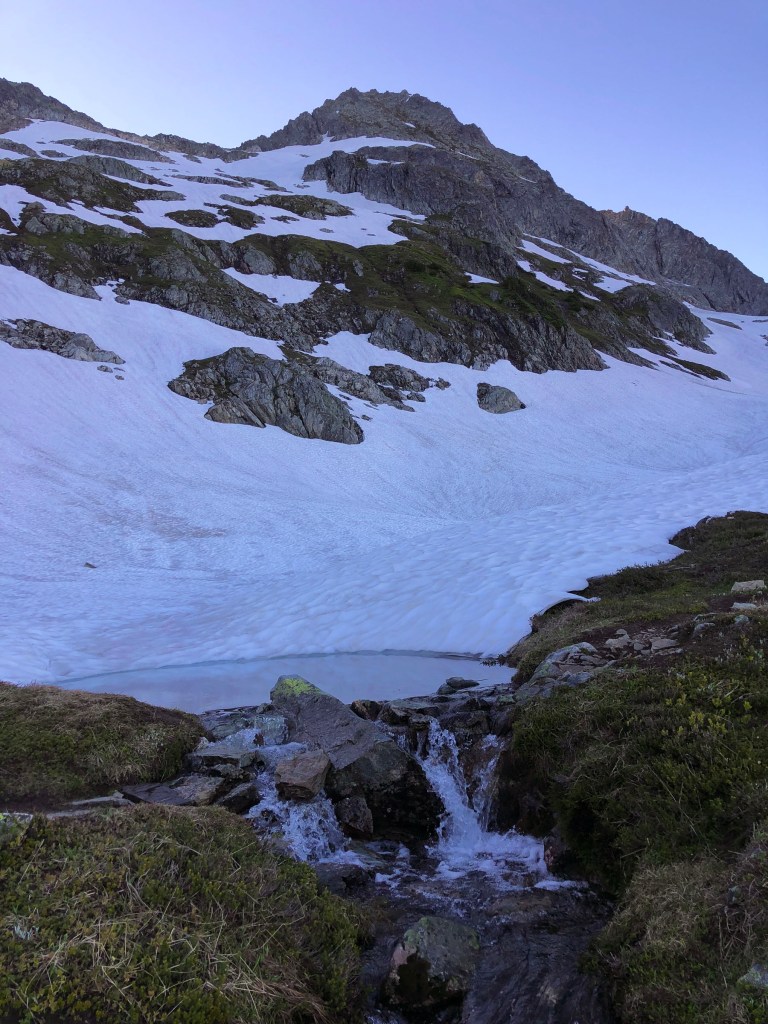
This was my third attempt in doing a crossing in almost a decade. The first two were foiled by either partners that not quite ready, a lack of confidence on how much fuel we had, or unknown adverse medical conditions of a partner. My first attempt started on Kearsarge Pass, further north. Prior attempts were done later in the season, which seemed like a good idea because we would have longer days and warmer nights, but the river on the approach to Shepherds Pass was a torrent making the crossings difficult and slow. The last week of April or first week of May seems to be the sweet time for this route.
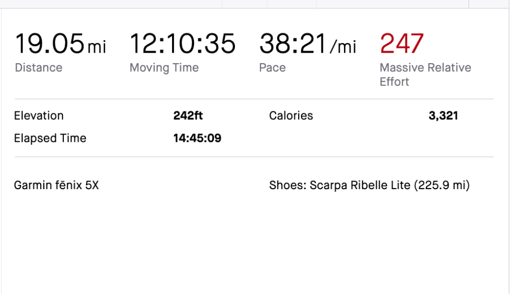
Here was our intended route: https://ridewithgps.com/routes/41943891 (on paper, the specs were 38 miles, with 11,443 feet of climbing).
Here is our actual route: https://www.strava.com/activities/11316666701
Our trip took five nights and six days total. We got a rather late start on the first day (10 or 11 a.m. as I recall) and as mentioned below lost some time on day two when squall rolled in.
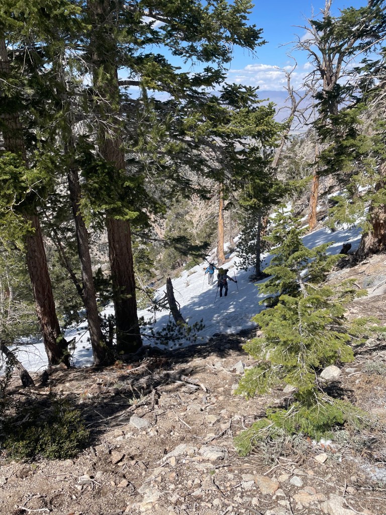
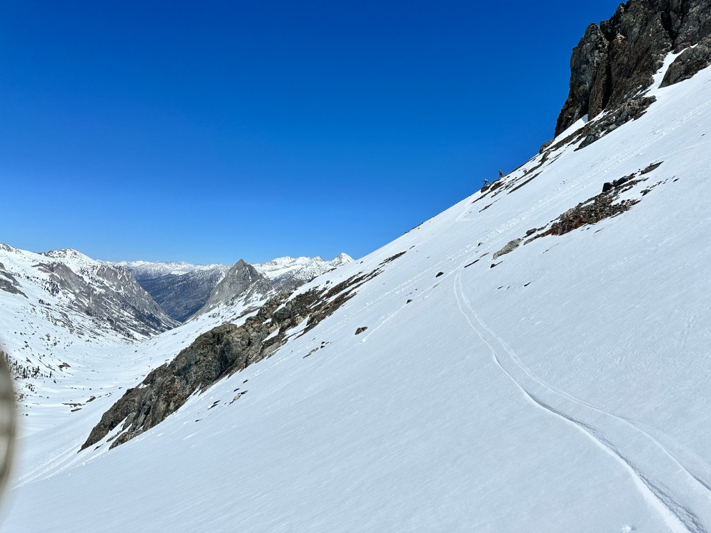
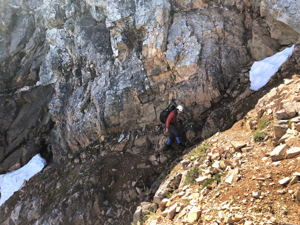
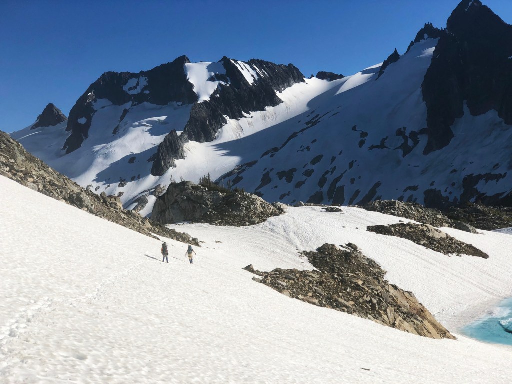
Prior to the trip, I could not find a GPX file (or complete Strava upload) from any site that would provide navigation details. The only thing I had to work with was a low res topo map with a crude route line drawn. I spent many hours creating a new route from scratch using my preferred online software, which is Ride with GPS. I used both it’s USGS and other generic topo maps, alongside with satellite views, to create our route. We saw few other parties or ski tracks until the last two days, so we really had to rely on our own navigation skills. The biggest variation on the intended route compared to the actual one taken, was the last day, in Tablelands, where we followed other tracks. Our route was the Shepherds Pass route, which is most commonly done.
The fastest known time (FKT) for a crossing is 19 hours, the last time I checked.
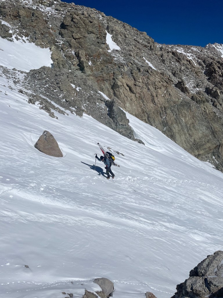
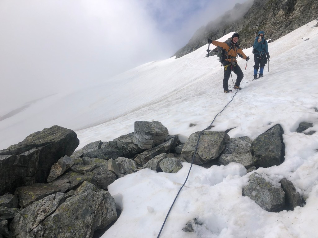
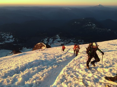
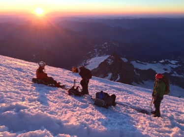
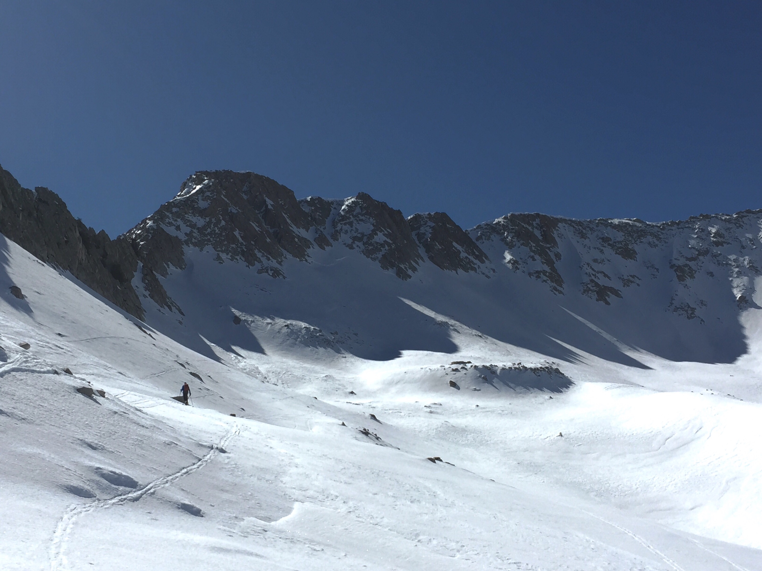
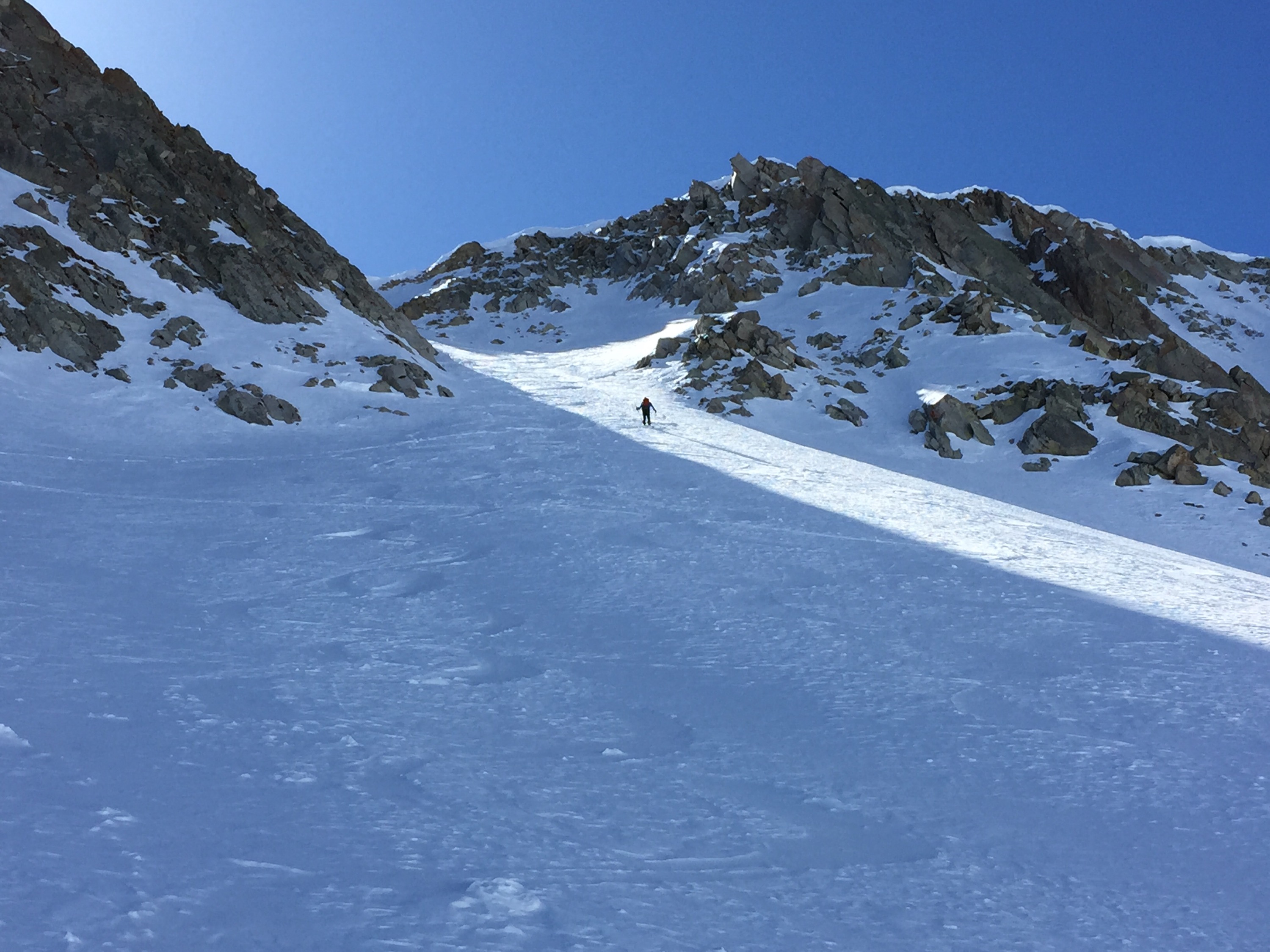
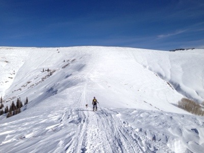
On our second day as we gained snowline, right below Shepards Pass, a nasty storm rolled in, causing us to hunker down for the night, rather than attempt to ascend the pass. We lost perhaps a half a day due to that storm. But we knew it was coming, so it was calculated risk, but also knew the balance of the week looked stellar.
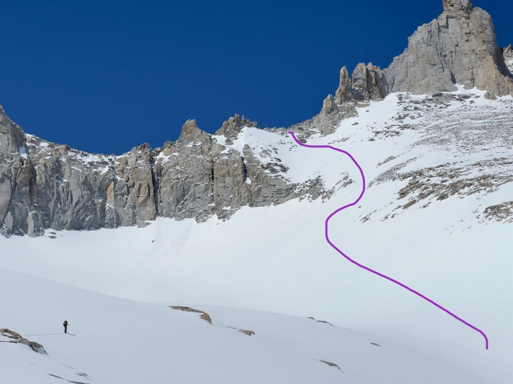
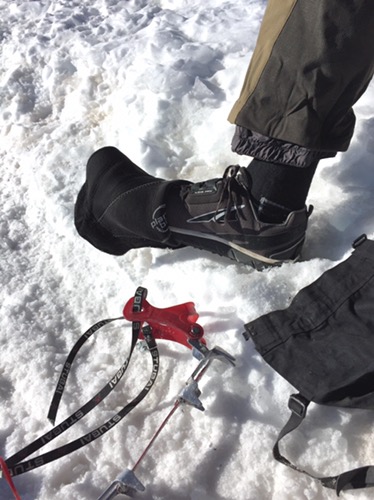
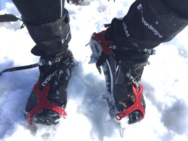
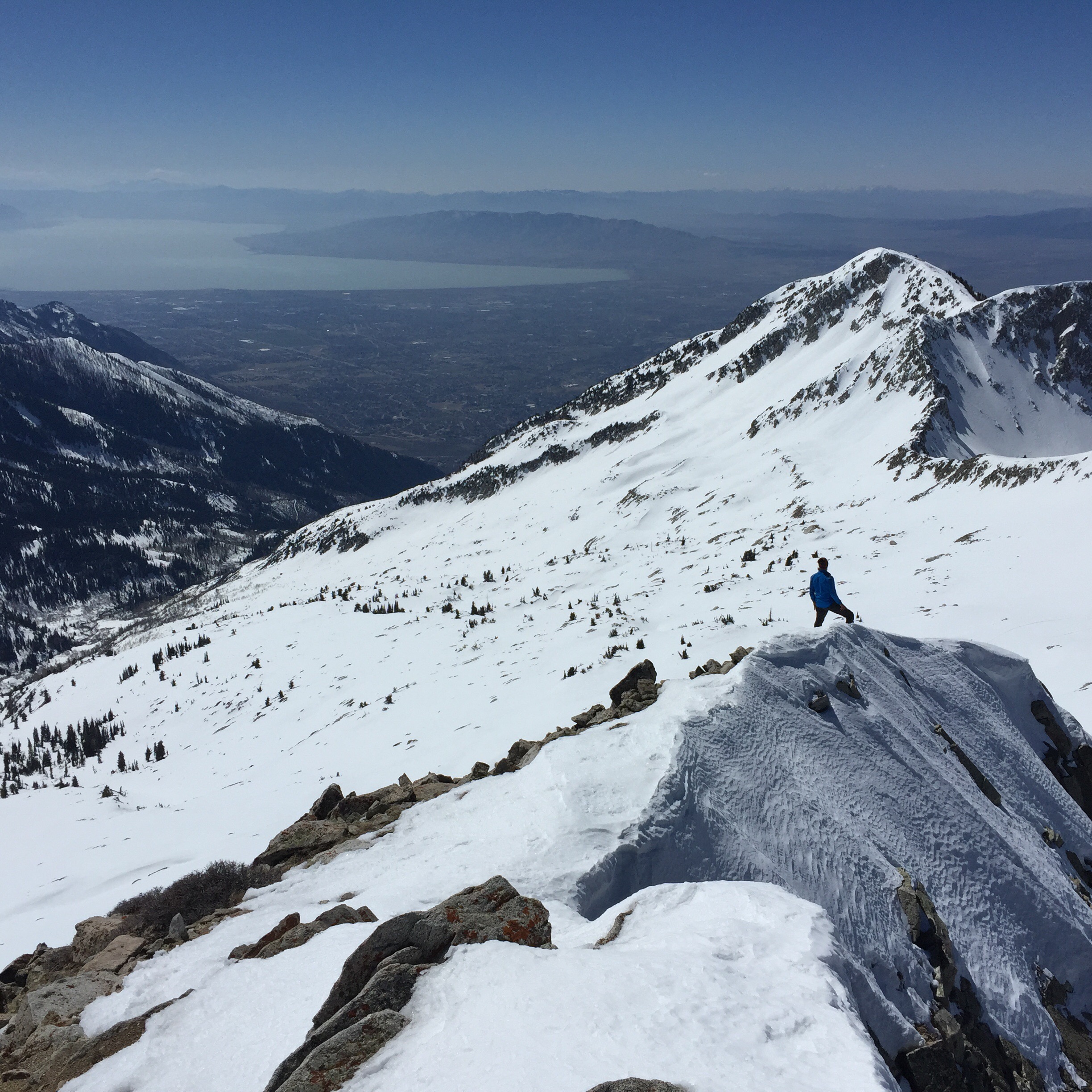
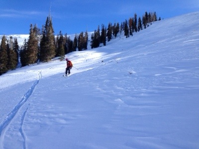
On our last day, I thought since the terrain looked less steep, that it would be super easy. But in the morning, we dropped in on a north-facing slope (following other ski tracks which were apparently made in the afternoon when conditions were soft) which proved to be totally iced over. Most of the team gently side stepped down, rather than try to ski it. I was more timid and put on my boot crampons and it booted it down, while they patiently waited.
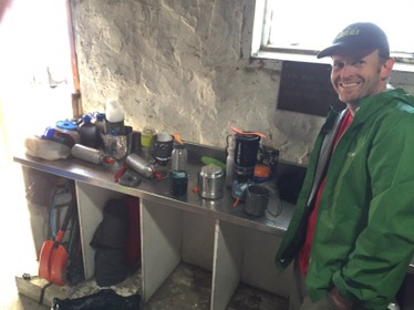
Stove notes: we debated whether to go with cartridge stoves (aka JetBoil type) versus “old school” white gas liquid stoves. At first we were going to use the butane/propane cartridges because of their reported efficiency. But at the last minute, I called some of the companies that do guided trips on this route. All of them use liquid gas, so we followed suit, bringing a one each, MSR Whisperlite and Simmerlite stove. I believe the reason guides use liquid is because with larger groups (and more days “out” as is common with commercial groups) it requires an enormous amount of fuel to melt snow for water. That would require a crazy amount of cartridges which is very, very bulky. Liquid gas is very compact. We allocated about 4.5 oz. per day per person. If you are not making hot drinks or hot breakfasts, then 4 oz. would be enough. Despite using white gas, as it turned out, the night prior to our start, most members of our party were struggling in finding enough space in their 50-55L packs for group gear. We were able to use open streams for the first two nights, after which we had to melt snow. We had one pot with a built-in heat exchanger and one without.
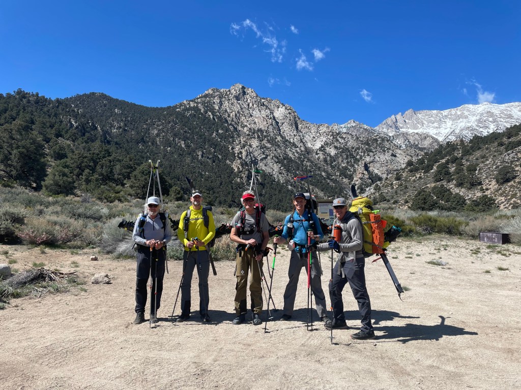
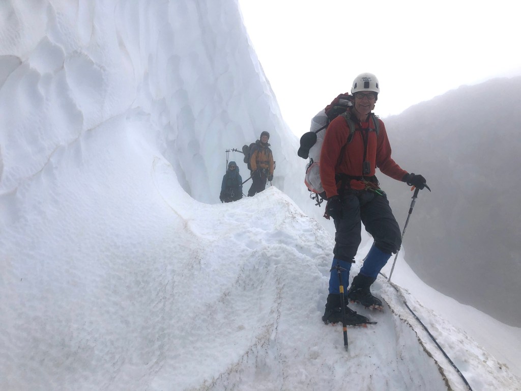
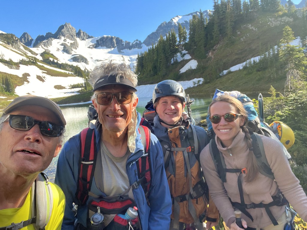
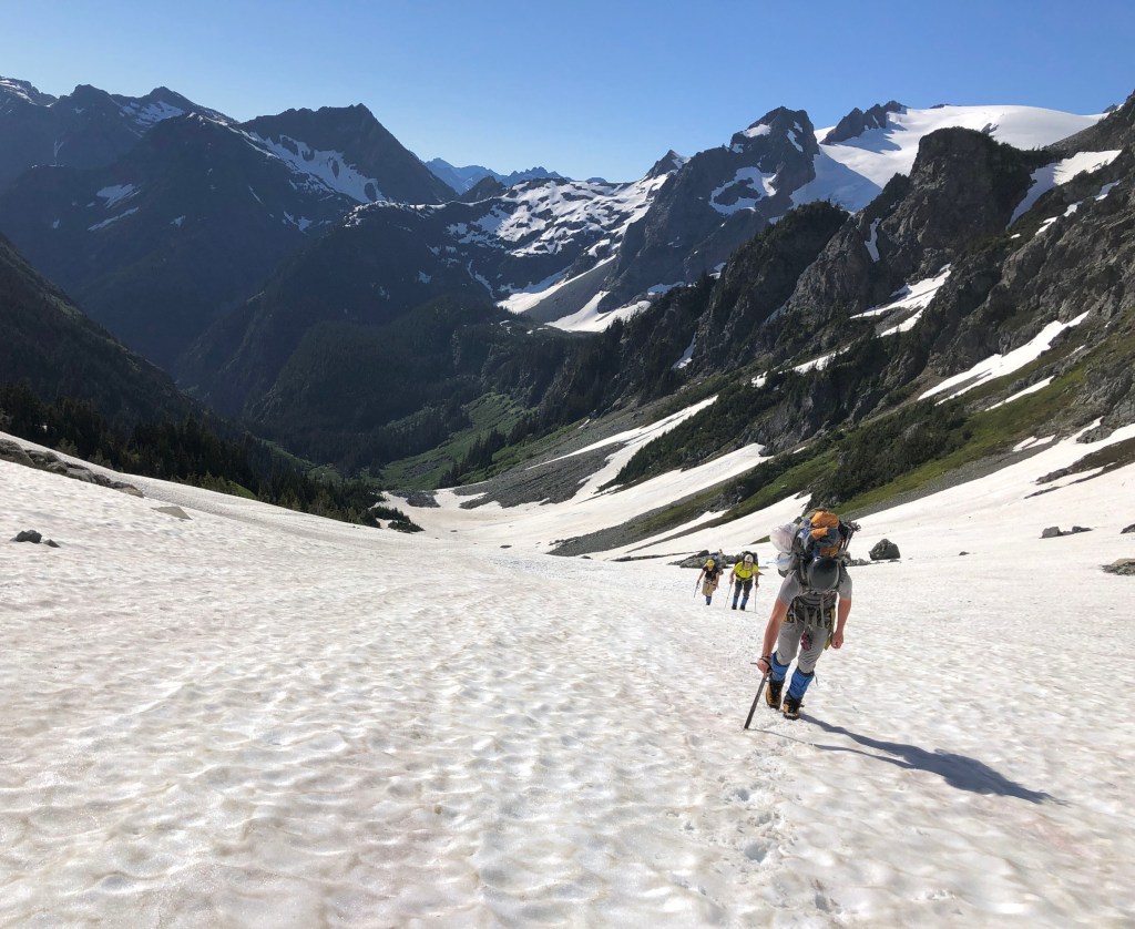
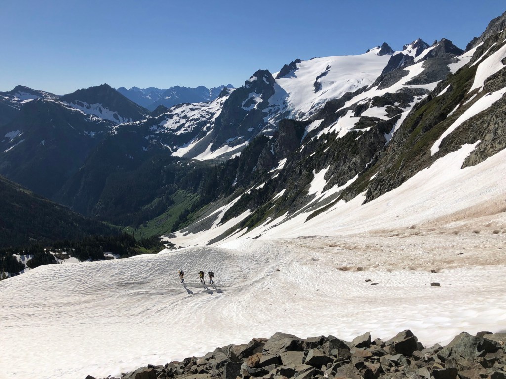
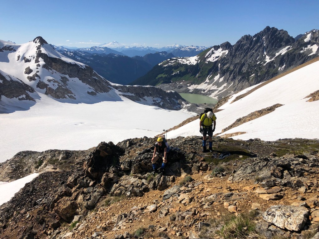
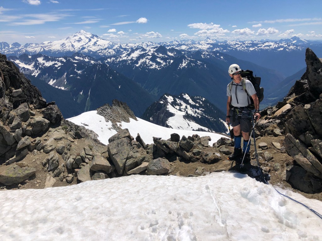
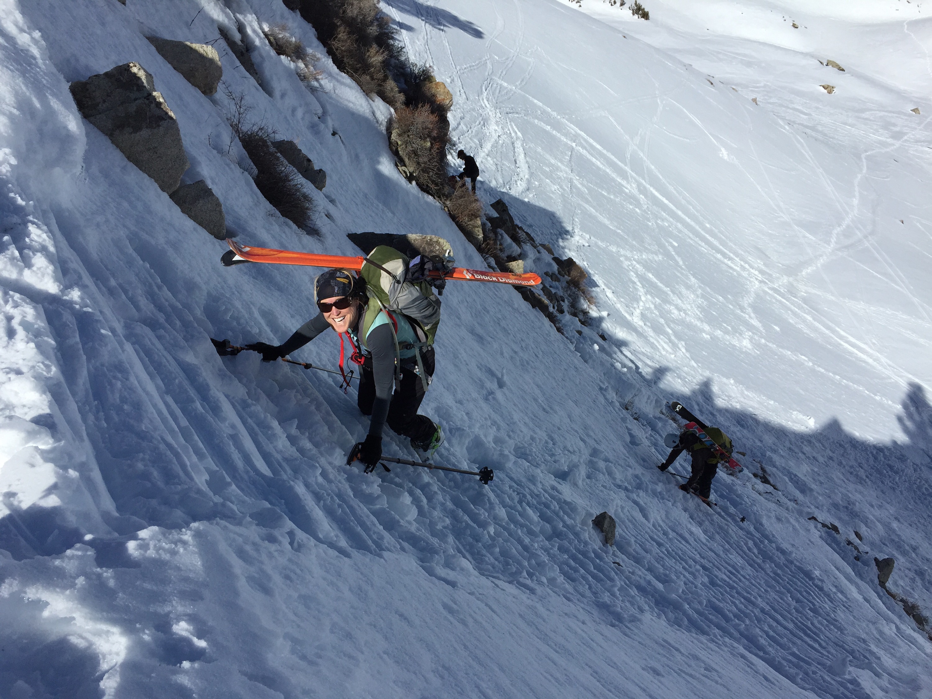
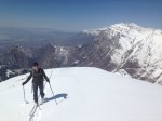
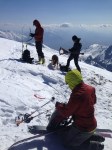
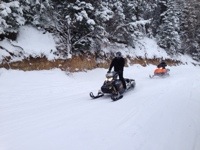
The photos below are mine or those from Wayne Pullman. Other members of the party included Jim Knight (who was with me on our prior two attempts), Greg Paul and Martin Frey. Many thanks to Paul Curtis for his time in shuttling us from the east side back to the start. Wayne was the youngster of the group, so he broke trail much of the time. Jim was the oldest at age 71, I at 70, and rest were slightly younger. Consequently, our moving speed was not stellar, but adequate.